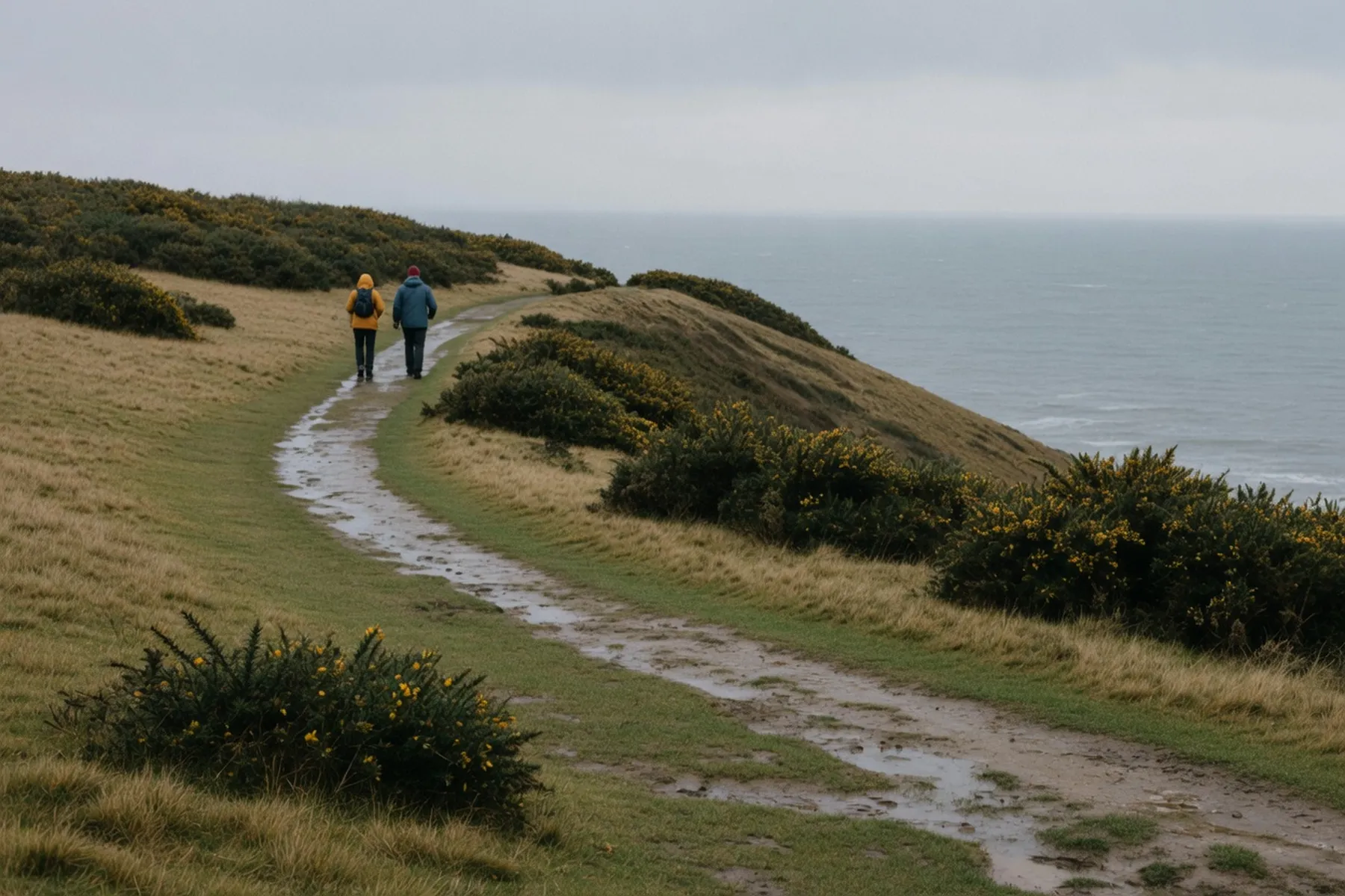
Whitby is a harbour town where the moors run out into the North Sea, and two long routes leave it that repay proper walking boots. One is the Cleveland Way, the 109-mile (175 km) National Trail that follows the cliff edge from Helmsley to Filey Brigg and passes straight through the town. The other is the Cinder Track, the old Scarborough-to-Whitby railway, now a permissive right of way for walkers, cyclists and horse riders. This guide sets out the stretches that work as a day out from Whitby, how to get back, and the parts — the mud, the tide, a steady climb — that the leaflets smooth over.
The choice comes down to the day you want. The Cleveland Way is the dramatic one: cliff-top grass and heather, the sea on one side, the moors’ edge on the other, and a descent into Whitby past the 199 Steps and the Abbey headland. The Cinder Track is the gentler grade, an old railway bed that climbs slowly rather than along a cliff edge — but the trust that manages it is plain that it is not flat. Pick the Cleveland Way for the views and a serious coastal leg; pick the Cinder Track for a wider, firmer surface and a route you can shorten by turning off at Hawsker or catching the bus. Both end at the same sea, and both are best walked one way with a bus back rather than out and back.
The northern approach comes from Sandsend, the next village up the coast. National Trails describes the whole Sandsend-to-Robin Hood’s Bay section as one that “covers some outstanding coastal scenery as well as visiting popular seaside resorts such as Whitby and Robin Hoods Bay.” Walking it into Whitby, you come in over the clifftops above the beach rather than along the sand, which matters when the tide is in. The trail then climbs past the 199 Steps and the Abbey headland before dropping into the old town. National Trails lists the steps up to St Mary’s church as one of the points of interest on the route, alongside Whitby Abbey, which English Heritage manages, and the town’s history: Captain Cook’s ships built here, Whitby’s growth through the jet trade, and Bram Stoker setting part of Dracula here. The Whitby-to-Sandsend mileage is not published separately by the trail authority, so plan that leg by time rather than by a mile count, and see the verified figures below.
South from Whitby the path keeps to the cliff top, and this is the leg that ends at Robin Hood’s Bay. The whole Sandsend-to-Robin Hood’s Bay section is 10 miles (16.3 km) on the National Trails page, so the Whitby half is a fair part of that — but not a figure the trail authority prints on its own, so treat it as a long half-day rather than an exact mileage. The route page sets the scene: the houses of Robin Hood’s Bay “nesting on the cliff edge”, and a coast with a smuggling history running from about 1700 to 1850. This stretch is also the finish of the Coast to Coast walk, so the last fields carry people who have walked all the way from the Lake District. What to do once you are there is in our day trips guide, and the bus back is covered below.
The Cinder Track leaves Whitby over the Larpool Viaduct, high above the River Esk, and follows the bed of the railway whose last train ran in 1965. North Yorkshire Council lists it as a permissive right of way open to walkers, cyclists and horse riders, and the Walk Wheel Cycle Trust’s route guide describes the track passing Hayburn Wyke and Robin Hood’s Bay before it reaches the town centre. If the harbour is your destination rather than the village, the trust’s directions are to leave at the ramp before the end of the path and follow Bagdale Road. If you want the Abbey instead, leave at the Cycle Hire Centre at Hawsker and follow Hawsker Lane. Bike hire along the route is from Trailways, which is the useful detail if you would rather ride than walk.
The whole Cinder Track runs 21.7 miles (35 km) from Scarborough to Whitby, which the Walk Wheel Cycle Trust gives as 7 hours 30 minutes walking or 1 hour 50 minutes by bike — figures for the full length, not the Whitby-to-Robin Hood’s Bay leg. On the Scarborough side it passes Hayburn Wyke, a secluded bay, and climbs over the summits at Ravenscar and Hawsker, which is the honest correction to any list that calls the track flat. The trust notes the route is traffic-free apart from on-road sections in Scalby, Ravenscar, Robin Hood’s Bay and Whitby, and that the path can get muddy in bad weather. North Yorkshire Council is improving the surface in phases under a £700,000 scheme with Sustrans; the most recent phase, reported in December 2024, upgraded a 2.5 km section between Burniston and Cloughton, nearer Scarborough than Whitby.
Two figures are worth holding onto, because they are the only ones with a primary source behind them. The Sandsend-to-Robin Hood’s Bay Cleveland Way section is 10 miles (16.3 km) per National Trails, and the full Cinder Track is 21.7 miles (35 km) per the Walk Wheel Cycle Trust. Any site that splits Whitby from Sandsend or Whitby from Robin Hood’s Bay into its own exact mileage is repeating a number the trail authority does not publish, so read those legs by hours rather than miles. Underfoot, the Cinder Track is mostly a firm former railway bed, but it climbs steadily over Ravenscar and Hawsker and turns muddy after rain, and the on-road stretches through the villages are short but real. The Cleveland Way cliff path is grass and earth, and wet grass after an autumn shower is its own hazard.
One-way walking only works because of the bus. Arriva’s X93/X94 runs Middlesbrough–Guisborough–Whitby–Scarborough and serves Whitby Bus Station, Robin Hood’s Bay at Thorpe Lane on the westbound run, and Scarborough Railway Station, with Guisborough Market Place and Middlesbrough Bus Station at the northern end. That is the service that gets you back from Robin Hood’s Bay or out to the start of a leg. Departure times load dynamically and change with the season, so read the Arriva X93 page and the real-time displays at the stop rather than trusting a printed time. If you are driving to the start of a leg, our parking guide covers where to leave the car.
The beach between Whitby and Sandsend looks like the obvious route at low tide and is a common alternative to the cliff path, but it is not the Cleveland Way and it does not forgive a rising tide. Keep to the cliff path when the tide is on the way in, and check the tide boards at the slipways rather than estimating. The cliffs themselves are eroding, and the trail stays on top of them for a reason, so do not be tempted down to a beach the tide can cut off. If the sands are the point of the day rather than the walk, our beach guide covers the tides and the dog rules.
Autumn is the busiest walking season in Whitby, and two events in the next few weeks change what the paths feel like. Whitby Goth Weekend runs Friday 30 October to Sunday 1 November 2026, with a Preload fringe from Thursday 29 October, and its circuit takes in the Abbey headland and the 199 Steps, so the cliff path and the Steps get noticeably busier that weekend — check whitbygothweekend.co.uk before you plan around it. Illuminated Whitby Abbey runs Friday 23 to Saturday 31 October 2026, 5:30pm to 9pm, with timed tickets and advance booking recommended, and the Abbey closes to daytime visitors at 5pm during the run, which changes the character of an evening walk up the headland; those dates are as listed at the time of writing, so check English Heritage’s what’s-on page before travelling. Musicport Festival sits around 23–25 October and the Tomorrow’s Ghosts Festival on 30–31 October, both worth confirming on their own sites before you rely on the dates.
An October walk here is a layers day. The light goes early in this season, and a walk that finishes at Robin Hood’s Bay still leaves you at a bus stop in the dark if you misjudge it, so a head torch or a charged phone is worth carrying. Footwear is the other non-negotiable: the Cinder Track turns muddy after rain and the Cleveland Way crosses wet grass and eroded earth, so waterproof boots beat trainers. The sea wind comes off the water without warning on the cliff top, so carry a waterproof layer even when the sky is clear at breakfast.